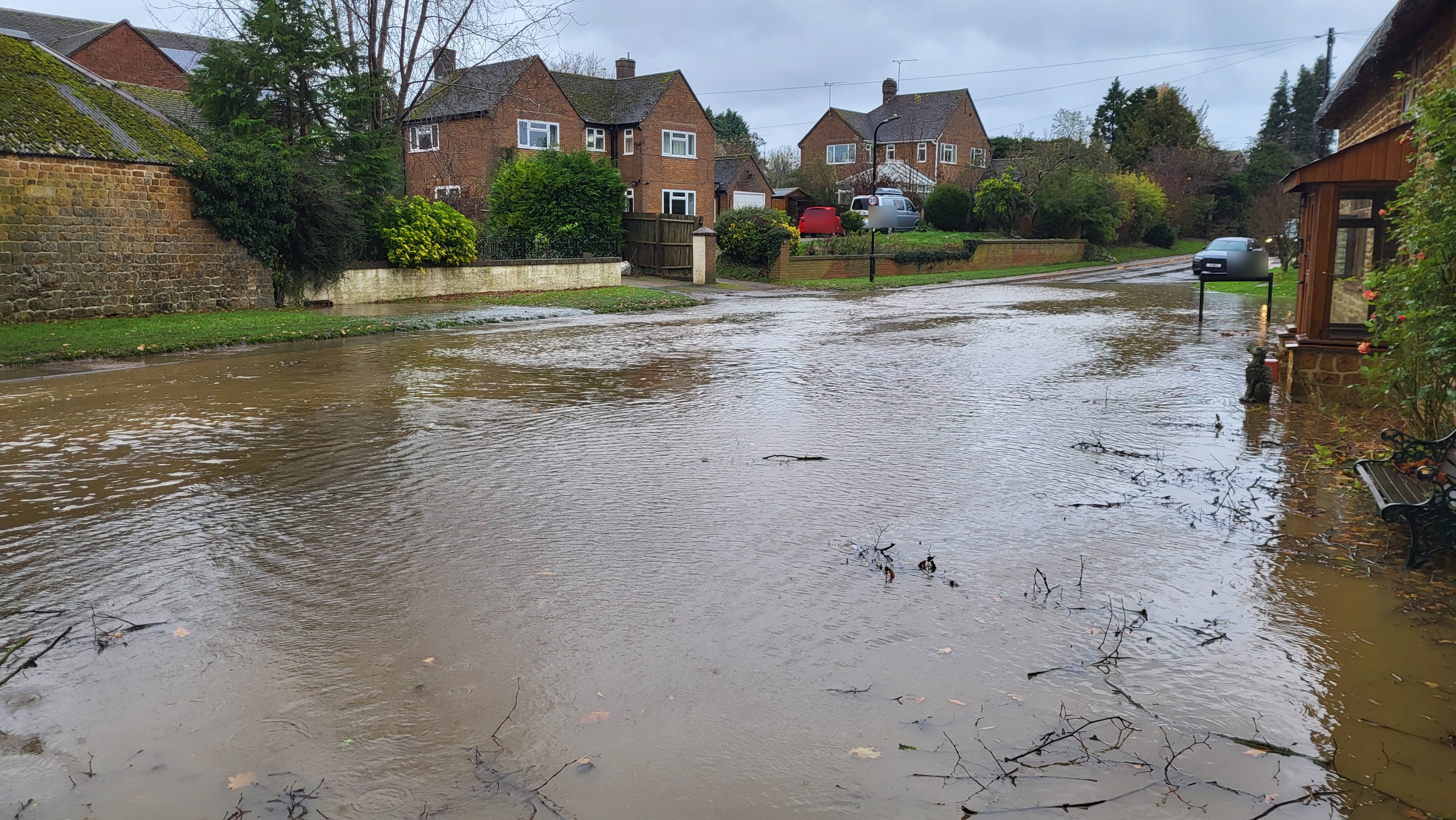
Floodwater in Bloxham
Floodwater covering a road during Storm Bert. Visible vehicle registration details have been obscured for privacy.
Community evidence
A selective visual record of Storm Bert, its immediate aftermath and the long process of drying, repair and reinstatement.
Privacy and purpose. This record is intended to document the scale and consequences of flooding without unnecessarily identifying individual homes or streets. Vehicle registration details in the principal street photograph have been obscured. The resident shown below has given permission for publication. Captions are deliberately location-light where a precise street or property adds little public value.
Floodwater spread through parts of Bloxham and entered properties. These selected photographs and clips show depth, movement and impact.
Floodwater covering a road during Storm Bert. Visible vehicle registration details have been obscured for privacy.
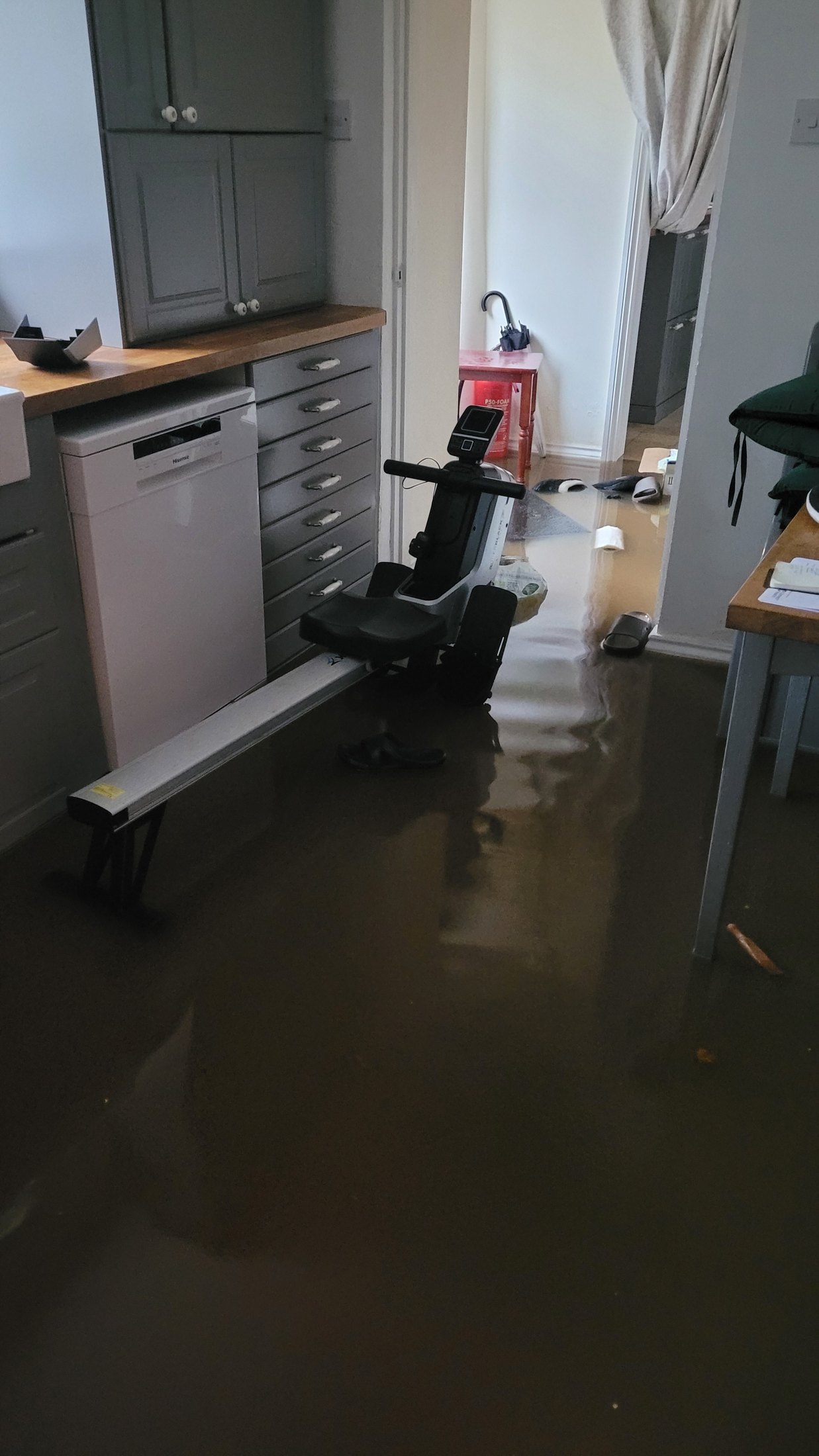
Floodwater inside a ground-floor room as the event developed.
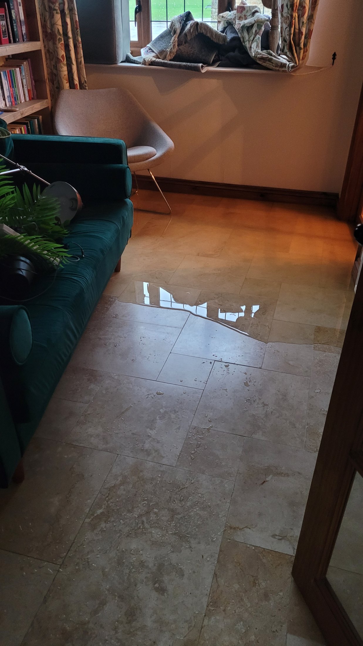
Water moving beyond the initial point of entry.
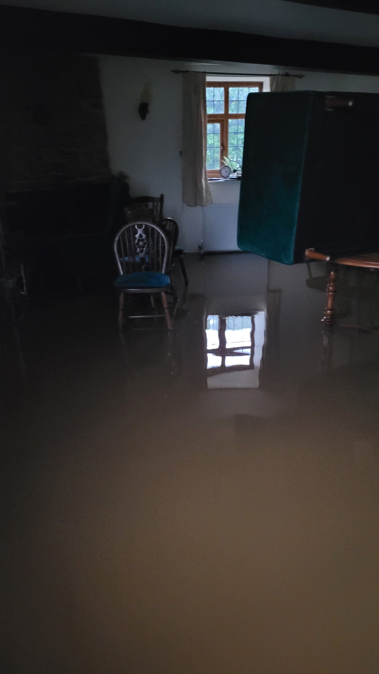
The extent of flooding across the ground floor.
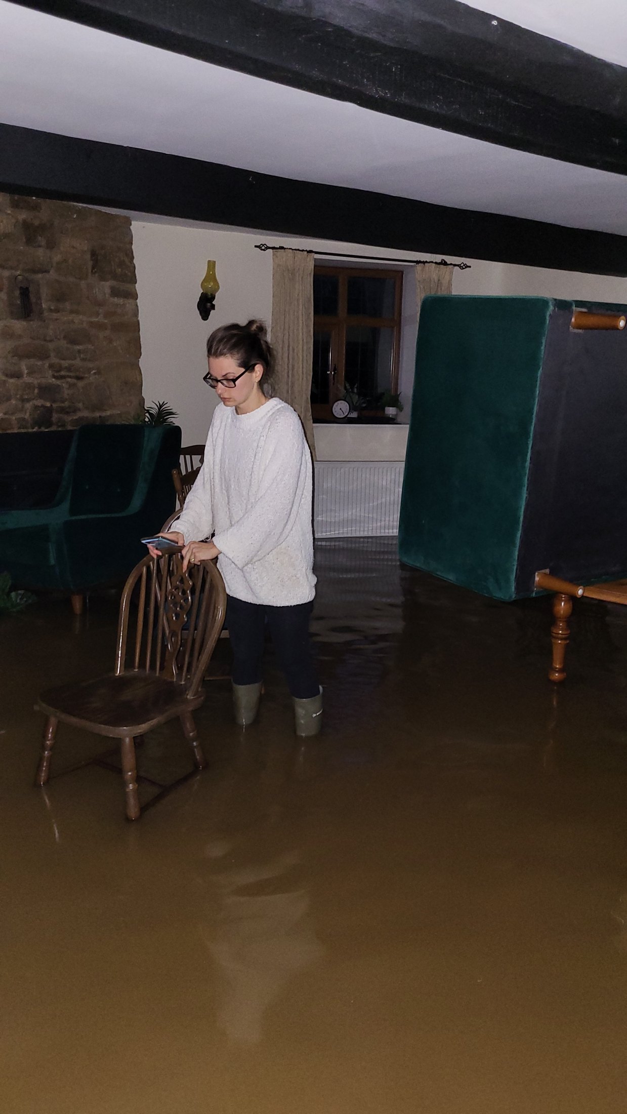
A resident inside a flooded property.
Video evidence of the event. Video loads when requested to reduce unnecessary mobile-data use.
A closer view of water movement during the storm.
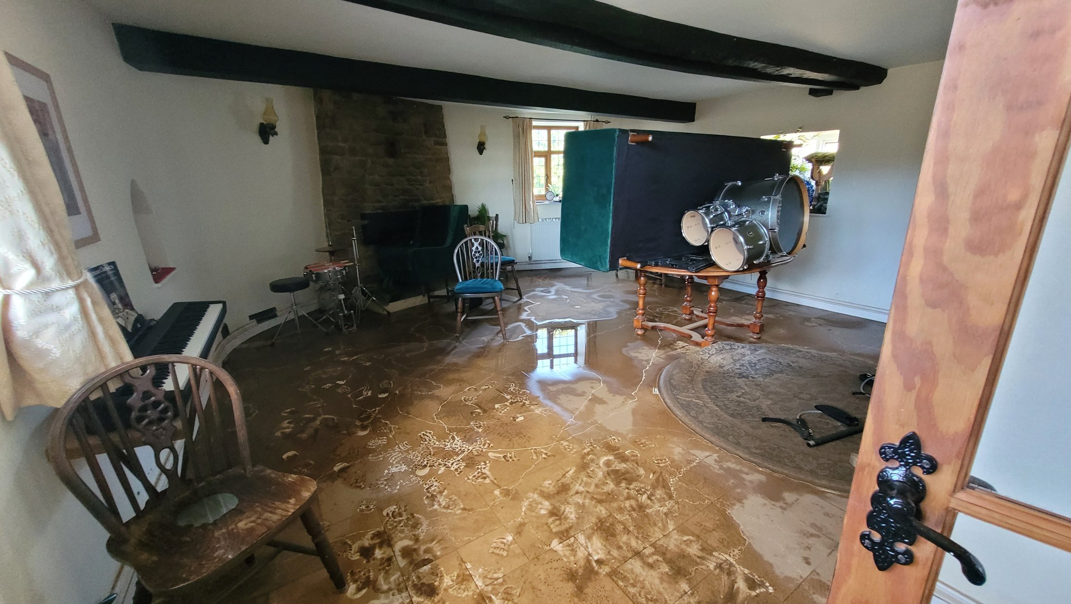
Mud, contamination and drying equipment show how recovery begins only after the visible flood has gone.
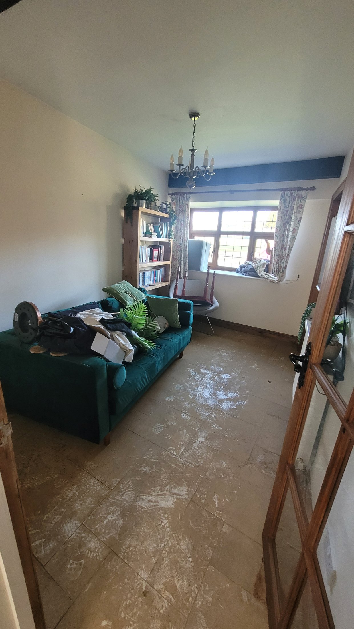
The condition of a property in the days after Storm Bert.
Video evidence recorded during the immediate recovery period.
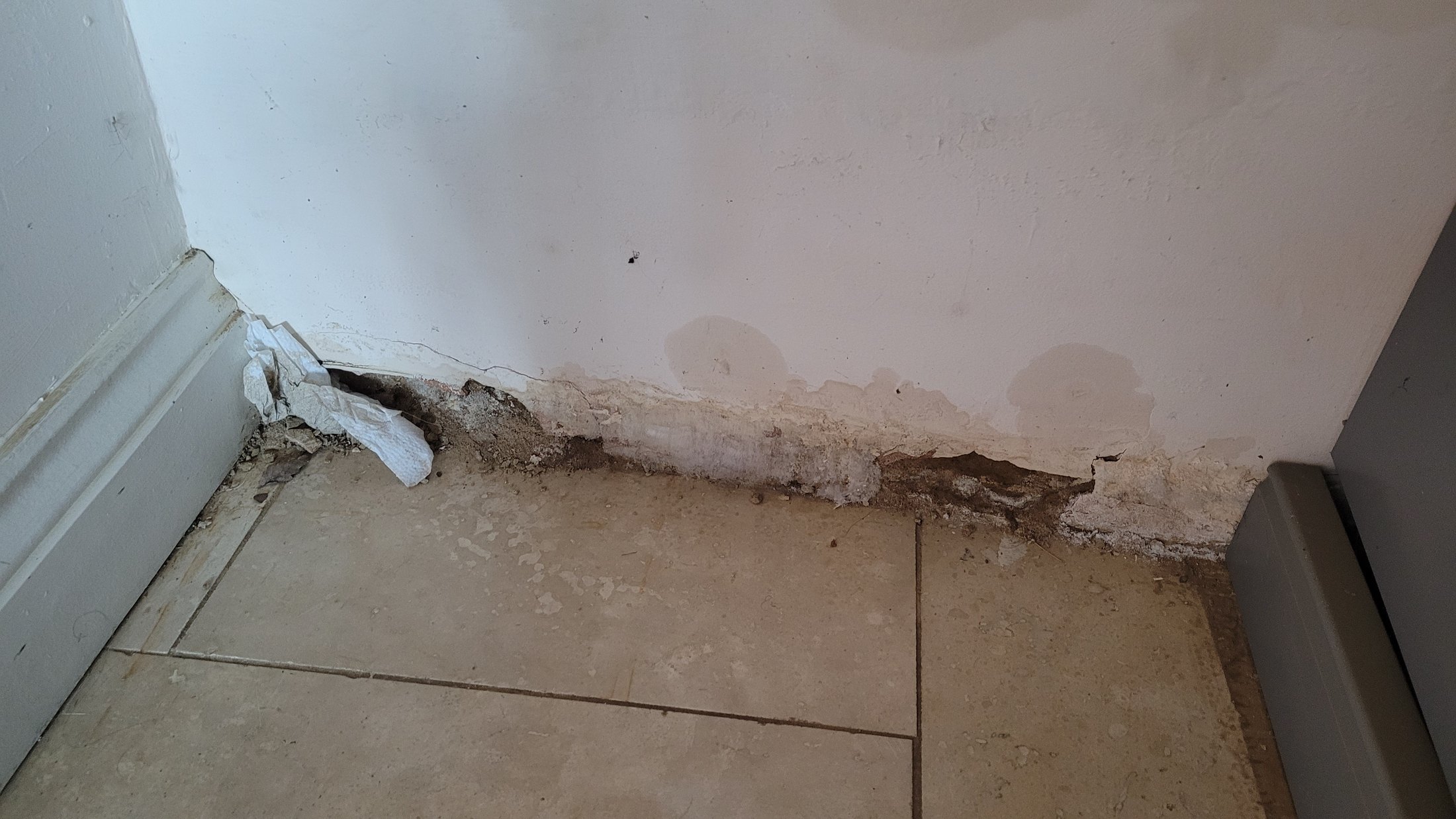
Visible damage weeks after the original flood.
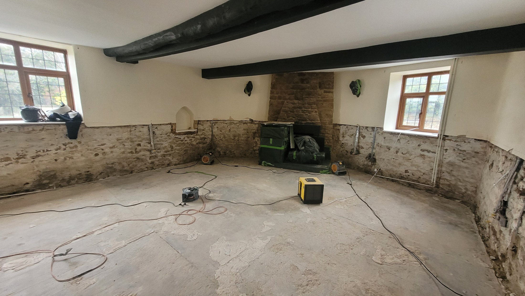
Walls stripped back as part of the long remedial process.
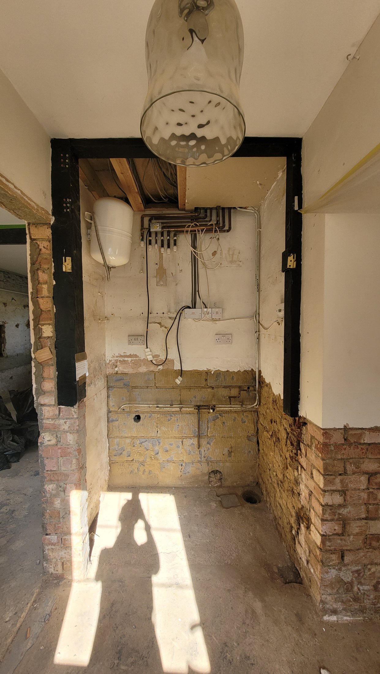
Repair work months after Storm Bert demonstrates how long the consequences of a single flood can last.
Why keep this record? Photographs and video provide evidence of water depth, flow routes, property impact and recovery time. The full archive is retained separately; this page intentionally shows only the clearest and most useful material.